


Kalinago waterfall and Rivière du Plessis walk
Last update: 06/24/2026
Our blog continues to grow thanks to you, our readers. This post may contain affiliate links, which means we can earn a small commission if you make a purchase through them, at no extra cost to you. This helps us to continue to bring you more and support our work!
I’m slowly getting back to writing about Guadeloupe’s lesser-known corners. You may smile, but we first discovered Rivière du Plessis shortly after arriving in Guadeloupe, more than two and a half years ago. At the time, I was honestly too lazy to write about this short walk through the forest. These days, I’m increasingly motivated to cover all the walks in Guadeloupe, even when, as in this case, they’re simply easy family outings.
Today, I’m taking you to discover Rivière du Plessis and Kalinago waterfall, two places that remain relatively unknown to tourists. Mélanie’s mother was staying with us for a month, which gave us the perfect opportunity to return and rediscover the area together.
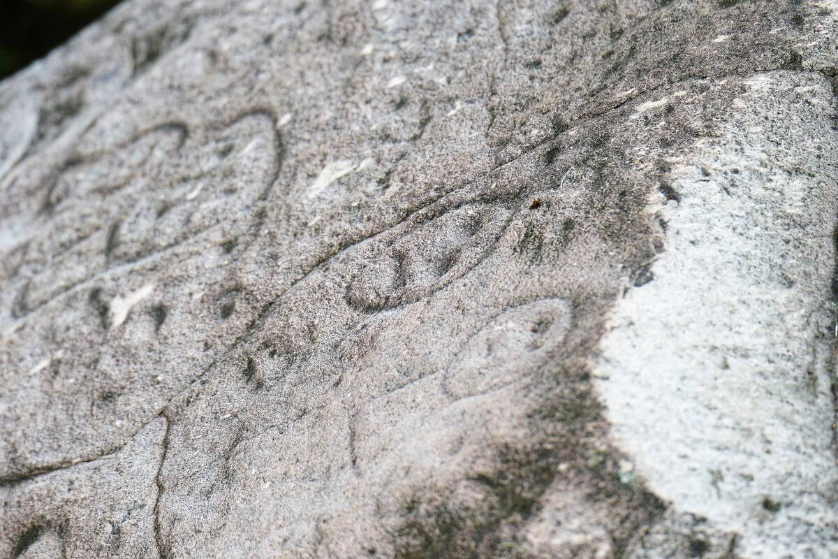
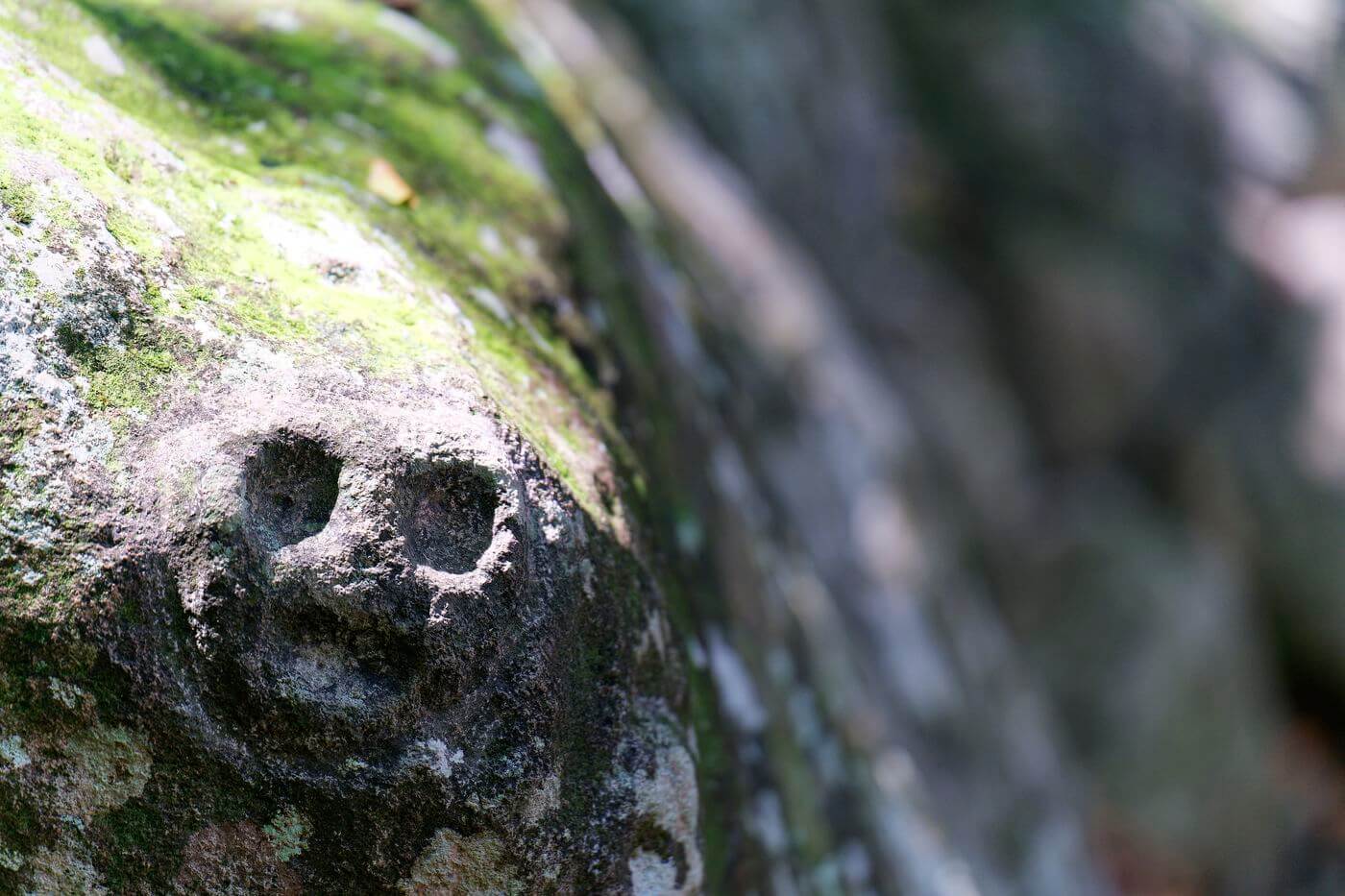
The site is particularly known for its Indigenous rock engravings. In that respect, it recalls the Parc des Roches Gravées in Trois-Rivières, which we’ve visited several times.
I’ll take you around this fascinating cultural site, which is well worth visiting—especially if you continue with the short walk along the river to peaceful Kalinago waterfall.
Discovering Rivière du Plessis and Kalinago waterfall
We left Vieux-Fort early in the morning—by car, of course—and headed toward the leeward coast and the town of Baillif. As usual, you’ll find all the practical information you need at the end of the article. There is no dedicated parking lot at the site, so we simply parked along the road.
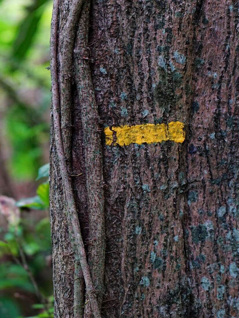
A tourist sign points toward the famous engraved rocks of Plessis, named after the river below and known as Woch Gravé Plési in Creole. We followed a narrow path through tall grass to the edge of the rainforest, then began the descent toward the riverbed. This short, 15-minute walk is not especially difficult, but the ground can be very slippery after rain.
Walking through the forest is always pleasant, even if the plants and wildlife are fairly typical of other trails in Guadeloupe. Still, keep your eyes open for the beautiful epiphytes clinging to the trees. Wooden steps have been installed along some sections to reduce the risk of slipping. You’ll also pass a couple of shelters, which are useful if a sudden downpour catches you along the way.

About fifteen minutes later, we reached the river, where a large covered platform houses several information panels. If you’re interested in Caribbean history and culture, take some time to read them. Although they were in fairly poor condition during our visit, they provide useful background on the engraved rocks.
I won’t repeat everything written on the panels, but here are the main points they present:
- Although their precise origins remain uncertain, the panels suggest that the first populations arrived from Asia via the Bering Strait,
- According to the panels, the earliest settlements and migrations in the Caribbean date from between 5,000 and 3,000 BC, while the rock carvings are thought to date from around 1700 BC,
- The engraved rocks lie in the bed of the Plessis River, which forms part of the boundary between Baillif and Vieux-Habitants,
- The engravings were carved into volcanic rock.
After spending about fifteen minutes reading the panels, we headed down to the riverbank to look for the famous engravings. Some are easy to spot, while others are much harder to make out, especially when the light is poor. Everyone soon joined in the search before we continued along the riverbed toward Kalinago waterfall.


We knew it wasn’t far, and the kids had fun the entire way. It was a peaceful walk, with no one else around—a welcome change from the crowded beaches of Sainte-Anne. After about fifteen minutes, we caught sight of a huge cliff reflected in the water, and the sound of the waterfall gradually grew louder. There is no clearly defined trail for much of the way, as you walk almost directly through the river. Near the end, however, you can climb onto the right bank—which is on your left as you head upstream—and follow a faint path to the waterfall, about five minutes farther on.
It was a lovely discovery, with a greenish pool that blended beautifully into the surroundings. A huge cliff, perhaps 20 or 30 meters high, rose in front of us, while a small cave on the left could be explored carefully. The setting felt wonderfully peaceful, with the waterfall flowing directly into the pool.
Visually, it may not be the most beautiful waterfall we’ve seen. The scenery feels less densely tropical than some of the sites deeper inside the national park, but the open surroundings reveal a wide expanse of blue sky above.
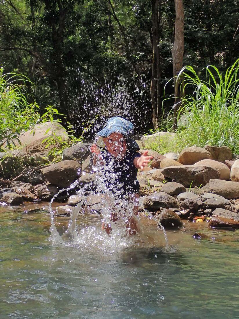
The five of us spent a quiet hour enjoying the place almost entirely to ourselves. The children splashed around near the edge while the adults managed to ease into the water, which was anything but warm. I did eventually get in, but I certainly wasn’t laughing!
Then more visitors gradually began to arrive. I was still a little surprised to see so many people there. It may not be the Maldives, but by lunchtime there were around fifteen people gathered near the pool, and some of the magic inevitably faded.


Rivière du Plessis and Kalinago waterfall: practical information
As usual, here is some practical information to help you plan your visit.
How to get there
First, of course, you’ll need to get to Guadeloupe. We’ve written an article covering everything you need to know about traveling there, including airlines, seasons, and prices.
Once on the island, we strongly recommend renting a car so you can explore independently. The local bus network can be difficult to rely on. We often suggest comparing rates through DiscoverCars, which compares offers from several rental companies.
We’ve also published a detailed guide to budgeting for a trip to Guadeloupe, covering airfare, local transportation, food, restaurants, and other common expenses. It should help you prepare for your stay in Guadeloupe.
The site lies along the boundary between the communes of Baillif and Vieux-Habitants, on Basse-Terre. It is about a 15-minute drive from the town of Basse-Terre. Here is the exact route on Google Maps. There is no dedicated parking lot, so visitors park along Chemin des Avocatiers. The official route involves crossing the river and can be dangerous after rain. Do not attempt it if it rained the previous day or if bad weather is forecast, and never cross if the water level is rising.
Where to stay nearby
There are plenty of places to stay in the area, with options for a range of budgets. Here are three nearby suggestions:
- Peaceful House: Set on a hillside, this attractive house offers views of both the sea and the mountains, along with a warm welcome.
- Villa de L’anse: A villa with a pool that may suit travelers looking to stay closer to the sea.
- Le Val de Lys: A highly rated vacation home with sea views, useful amenities, and a hot tub.
What to do nearby
There is plenty to see and do nearby. Here are a few ideas:
- Hike to La Soufrière,
- Visit the Chutes du Carbet,
- Walk to Chute du Galion,
- Relax on the beaches along the leeward coast!
There is no shortage of ways to fill your time in the area.
See you soon for another article!

Written by Sylvain PONS
Since 2021, I've been living in the Guadeloupe archipelago with Mélanie and our two children. We are exploring these beautiful islands and discovering the treasures that we are happy to share with you!
Despite our care, a mistake may have slipped into this article. If you find any, please don't hesitate to let us know so we can correct it as soon as possible and keep our information up-to-date!