The most beautiful hikes in Malta
Last update: 06/22/2026
Our blog continues to grow thanks to you, our readers. This post may contain affiliate links, which means we can earn a small commission if you make a purchase through them, at no extra cost to you. This helps us to continue to bring you more and support our work!
Hello again from Malta! For a change from idyllic beaches, turquoise, crystal-clear water, and the archipelago’s characteristic fortified towns and villages, I’d like to introduce you to the best hikes in Malta. Despite what you might expect, Malta has some beautiful hiking routes, many of them running along cliffs above the Mediterranean. I would even say that hiking is one of Malta’s must-do activities.
Nature lovers and anyone drawn to wide-open scenery should find plenty to enjoy. I had the chance to try several of these routes myself, and the ones on Gozo were especially beautiful. Gozo is greener and more unspoiled than Malta’s main island. Even within the Maltese archipelago, the landscapes can feel completely different. And let’s not forget Comino, which is only sparsely inhabited. You may have much of its trail network to yourself, as many travelers stop only at the Blue Lagoon instead of taking two or three hours to walk around this beautiful little island.
By now, you can probably tell that I strongly recommend making time for a hike in Malta. This article will guide you through the island’s most beautiful trails and the routes worth adding to your itinerary. It is well worth the effort—Malta has more surprises in store than you might expect.
Why choose Malta for hiking?
Most people choose Malta for its coves, turquoise water, Mediterranean climate, or, in some cases, its nightlife. Once you arrive, however, you quickly realize that the islands also offer some lovely places to hike. I did some research before my trip because I wanted to vary my activities, and I soon discovered that there were quite a few hiking options. It helped me identify several routes in advance, though I found even more beautiful landscapes to explore on foot once I arrived.
Malta, Gozo, and Comino are all wonderful places for exploring nature on foot. The routes range from coastal paths beside the Mediterranean to towering cliffs, peaceful valleys of greenery and rock, and narrow trails leading to almost hidden coves. There is plenty to explore. Malta also benefits from a generally mild climate throughout the year, aside from the intense heat of July and August.

What I especially liked was how quickly the scenery could change. You can leave a valley behind and reach a picturesque village for a break in no time. Many of Malta’s hiking trails are also very accessible. Even if you are not a regular hiker, most routes fall within the easy-to-moderate range. The greatest challenge is likely to be the heat if you visit at the height of summer. Setting off early in the morning will make the experience far more comfortable. So, ready to discover all the must-do hikes?
The best hikes in Malta, Gozo, and Comino
1. Discover the Dingli Cliffs
There is a good reason I am starting with the Dingli Cliffs: they are well worth seeing. At around 250 meters above sea level, this is the highest part of Malta’s main island. That may not sound very high, but by Maltese standards, it is the summit. The panoramic view across the Mediterranean is remarkable. What impressed me most was the sense of endless space between the sky and the sea, broken only by a few islets in the distance.
This is not one continuous hiking trail, however. Some sections follow developed paths, but these are interrupted in places. At times, you will need to walk beside the road, although traffic is generally light. There is a construction company near the beginning of the route, so trucks occasionally pass by, which is admittedly not the most pleasant start. Fortunately, this affects only the first section and does not take away from the views. The farther you continue, the quieter and more unspoiled the landscape becomes.


In practical terms, there is very little elevation gain, and you can easily adjust the route to suit your plans. The full route from the Dingli Cliffs to Clapham Junction takes roughly 1 hourour 30 minutes to 2 hours 30 minutes, depending on your pace and how often you stop for the views or photos. I also recommend wearing sturdy shoes, as the ground is quite rocky. Bring plenty of water, as there is virtually no shade along the route. If possible, avoid the hottest hours. As you know, I went in early April, and and although 25°C felt mild, the sun was strong throughout the hike. But I can tell you it’s really worth the detour: the view of the Dingli Cliffs and the sea is just sublime!
2. Explore Coral Lagoon near Mellieħa
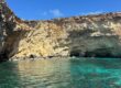
For a pleasant walk through beautiful scenery, Coral Lagoon at Malta’s northern tip is an excellent choice. It lies near Mellieħa and offers several striking viewpoints. The area remains relatively quiet, which makes the experience even more enjoyable. Coral Lagoon is essentially a sea cave whose roof has collapsed, leaving a large opening in the rock above remarkably clear water. From the edge, the pale limestone contrasts beautifully with the deep blue of the sea. It is also an impressive place to photograph from above, where permitted.
The round trip covers about 10 kilometers and usually takes around two hours, depending on your pace. A few sections climb gently, but nothing is particularly demanding. The Red Tower, also known as St. Agatha’s Tower, makes a convenient starting point. The trail is rocky and sandy in places, so sturdy shoes are useful. Once again, there is almost no shade.
When you arrive at the Coral Lagoon you can either admire the view from above or go down to the water. There is no developed path down, and the rocks can be slippery, so do not attempt the descent unless you feel comfortable. People swim and kayak there in summer, but there is no need to climb down: the view from above is rewarding enough.
Overall, this is an easy half-day hike through quiet surroundings, with beautiful scenery along the way.
3. Hike along Gozo’s north coast
If you’re visiting Gozo, I recommend hiking from Marsalforn to Wied il-Għasri. It feels more like a long coastal walk than a demanding hike. The route follows an unspoiled stretch of coastline, far from the busier parts of the island, with the sea beside you almost the entire way. Along the way, you will pass the salt pans, which are especially beautiful around sunrise or sunset. The route then traces the limestone cliffs before reaching the well-known cove of Wied il-Għasri.
It is a small, peaceful cove enclosed by rocky cliffs. You have to take quite a few steps to go down. Even from above, the view into the cove is impressive. The water is turquoise and exceptionally clear, with a small strip of sand below. The trail remains easy, but it’s stony. What I particularly liked was the feeling of being far from everything, surrounded only by sea and rock. It is a refreshing route and a lovely way to discover Gozo’s more natural side.

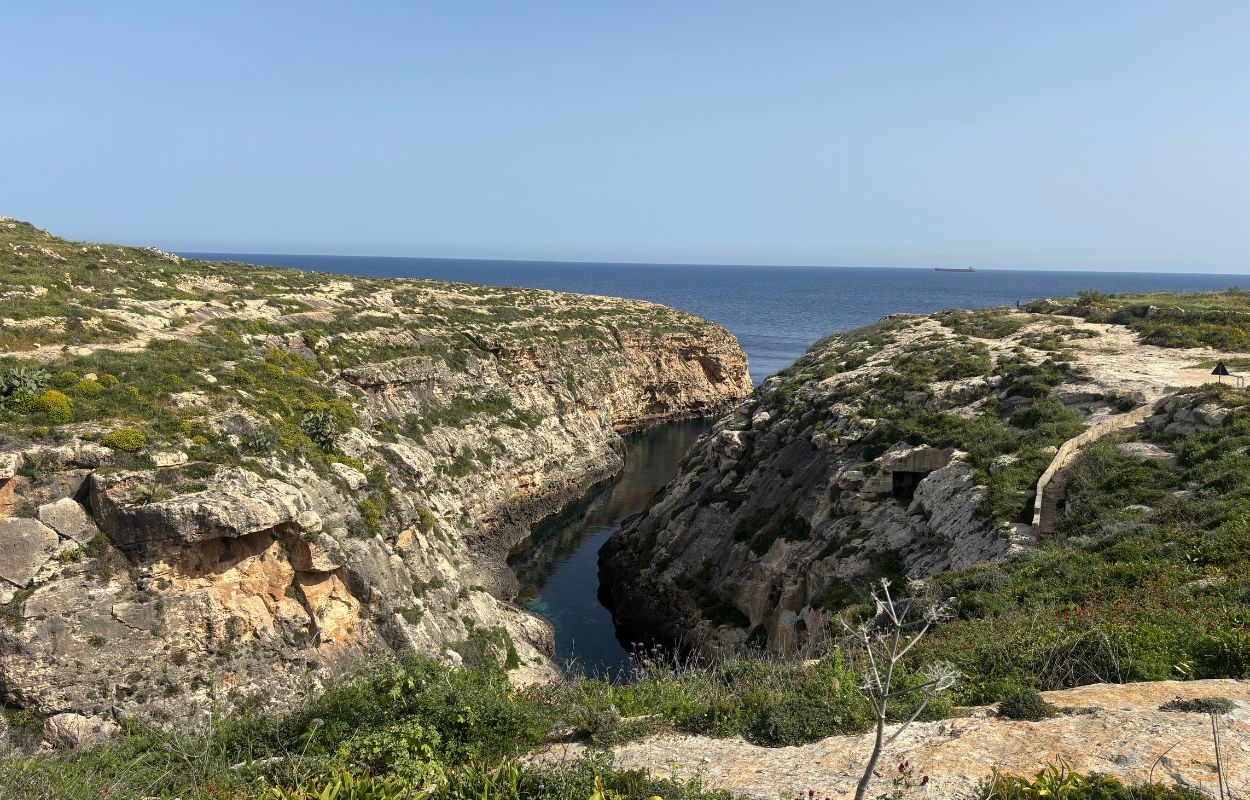
Allow two to three hours if you walk at a relaxed pace. This time there’s a bit of shade, but still not much!
4. Walk around Comino
If you want to see more of the island that is home to the Blue Lagoon, walking around Comino is one of the best ways to explore it—after arriving by boat, of course. The island is tiny, covering just under 3 km². You can therefore walk around much of Comino in roughly 2 hours 30 minutes to 3 hoursours at a relaxed pace.
Your starting point will most likely be the Blue Lagoon, where most boats from Malta and Gozo arrive. The lagoon itself is certainly worth seeing, with its intensely turquoise water. The only downside is the crowds. As soon as you move away from it, however, the crowds thin out and you may find yourself alone beside the sea.
Although the path is not marked, the route is fairly intuitive: simply follow the coast. To explore Comino you’ll pass lovely spots like San Niklaw Bay, Santa Marija Bay and its chapel, St. Mary’s Tower, and the Crystal Lagoon. Each stop has its own character, and the scenery varies considerably along the way.
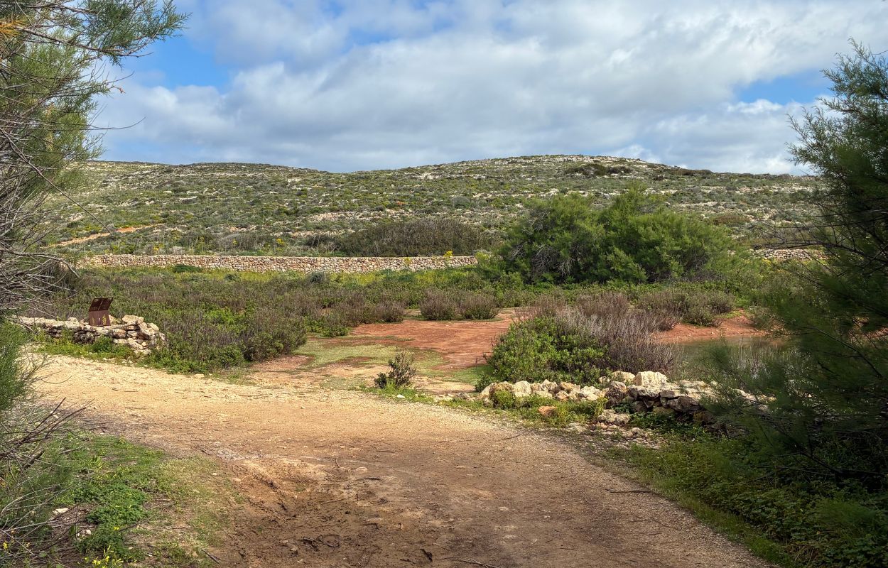
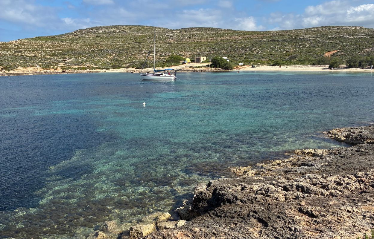
This is not a difficult hike. However, there is little, if any, shade, and no developed trail. Bring water, snacks or a picnic, and, of course, your swimsuit. You can break up your hike with swimming stops in beautiful, almost deserted coves. It is a lovely way to break up the walk.
For a quiet and largely unspoiled setting, I recommend exploring Comino on foot. If you like walking and want to discover another side of the Maltese archipelago, go for it!
5. Explore Għar Lapsi Bay
Next, head to Għar Lapsi, a small cove tucked away in southwestern Malta. Like much of western Malta, and particularly the south, it tends to feel peaceful and receives relatively few visitors. If you really want quiet for walking and swimming, this place should appeal to you! This is less of a hike than a walk beside the sea.
Start from the parking lot above the bay, then follow the paths along the coast. The setting combines rocky terrain, open sea, and imposing cliffs. It is also a pleasant place to swim away from the larger crowds. It’s an authentic and isolated place where you’ll find only a few fishermen and a small restaurant to eat fresh fish. This is a good place to experience a quieter side of Malta. I think it’s a nice change from the classics and shows a whole different face of the archipelago!
6. Walk from Żebbuġ to the former Azure Window in Gozo
This Gozo hike connects with the coastal area mentioned earlier. This time, the route begins in the northern village of Żebbuġ. This small hilltop village overlooks the sea. If you go down to the coast you can reach Wied il-Għasri cove.
From there, continue toward Dwejra Bay. That’s where the famous Azure Window used to stand. The arch collapsed in 2017. Even without the arch, the area remains beautiful, with the Inland Sea and the Blue Hole nearby. I especially enjoyed the area’s quiet, unspoiled atmosphere.
Allow about three hours, particularly if you take your time and stop often for photos.
7. Discover Majjistral Nature and History Park
Back on Malta’s main island, the next route explores Majjistral Nature and History Park. The park lies in the northwest, just beyond the well-known Golden Bay. Its protected status is immediately apparent. There is little development or concrete, and the landscape feels raw and open between land and sea.
The park’s reddish-gold dirt paths wind between low cliffs and wild vegetation. The scenery feels quite different from many of Malta’s better-known landscapes. Several routes allow you to tailor the walk to your available time. They are generally easy, with both shorter and longer options. Allow between one and three hours, depending on how much you want to explore. In any case, you’ll enjoy beautiful sea views! You may also pass ruins and old agricultural walls that reflect the area’s rural history.
You can also take the opportunity to swim at Golden Bay or Għajn Tuffieħa. To me, these are the two most beautiful beaches on Malta’s main island, and I loved them both. I loved the area, and I doubt many people hike there!
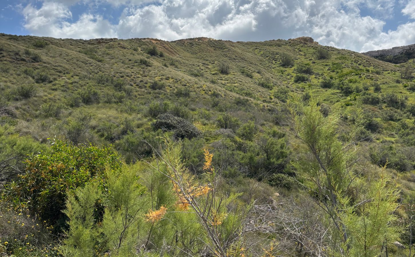
8. Explore the wild cliffs near Rabat
Staying on Malta’s west coast, this route explores the rugged cliffs around Rabat, beside Mdina, the Silent City. This area is far less famous than the Dingli Cliffs. That relative obscurity helps it retain a wilder, quieter atmosphere.
From Rabat, you can already enjoy broad views toward the cliffs. The paths then pass through typically Mediterranean vegetation, including succulents, wildflowers, and herbs such as thyme. Eventually, the landscape opens onto an uninterrupted view of the sea. The path is not well marked, so proceed carefully and bring suitable navigation.
Early morning light can be especially beautiful on the cliffs.
9. Walk from Sliema to Valletta along the waterfront
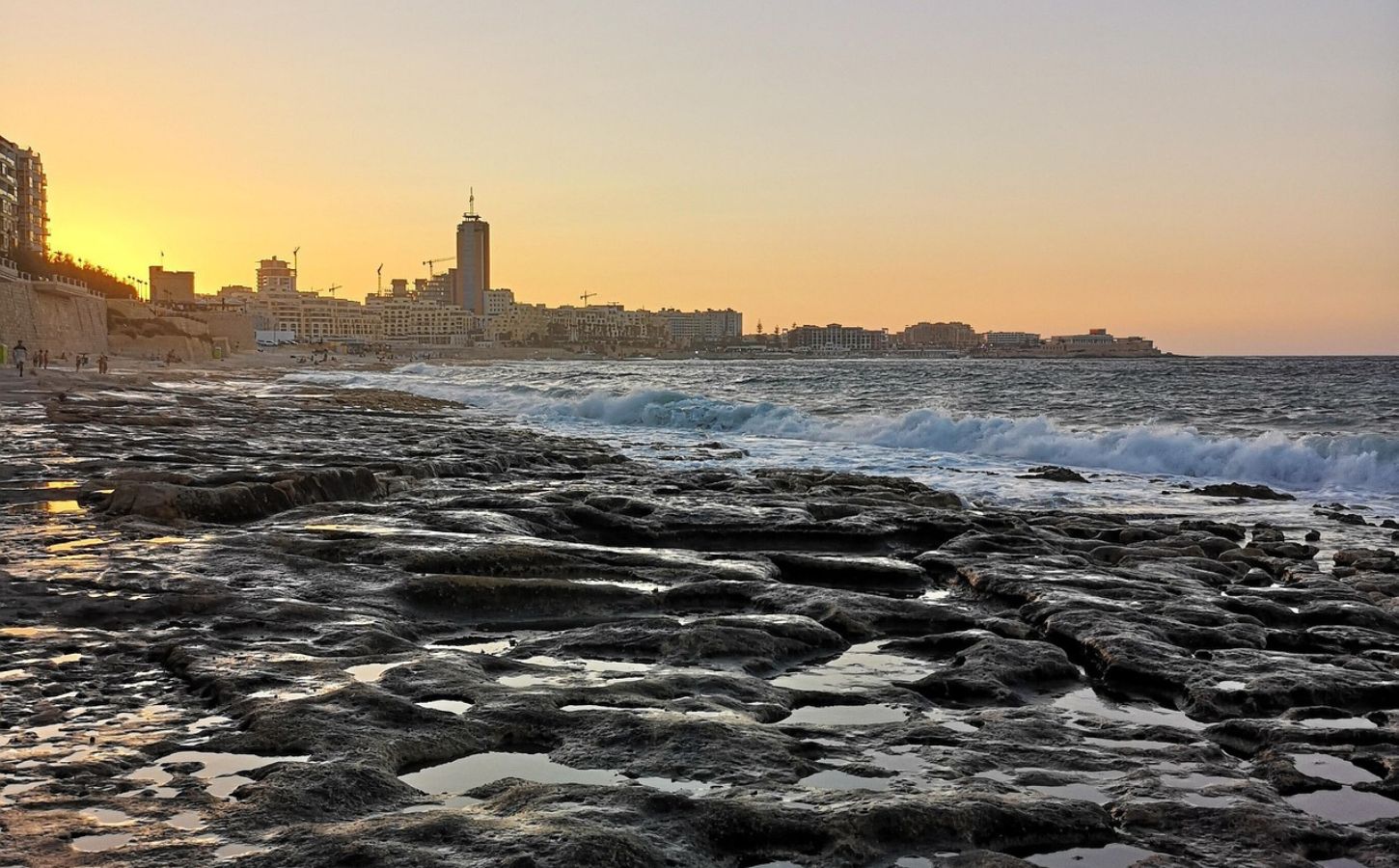
This route is more of a waterfront stroll than a hike, but it is so pleasant and popular that it deserves a place on the list. The walk combines sea views, a lively atmosphere, and easy sightseeing. You’ll start from Sliema and follow a pedestrian promenade, admiring Valletta’s ramparts and the bay. The route is flat and well developed, as it runs through the more urbanized eastern side of the island.
The atmosphere is very different from the wild west coast, with more of a seaside-resort feel and plenty of cafés along the way. If you can, go in late afternoon. The sunset over the capital’s walls is just magnificent! To extend the outing, take the ferry between Sliema and Valletta for excellent views of both cities from the water. It is a simple walk and an ideal way to end the afternoon.
10. Follow the Victoria Lines trail from Baħrija to Pembroke
The Victoria Lines are sometimes described as Malta’s Great Wall. This defensive system consists of fortifications built by the British in the 19th century. It formed a defensive line across the width of Malta. Walking the route feels like a journey through the island’s history. Between Baħrija and Pembroke, the trail crosses countryside, villages, rocky terrain, and cliffs, with occasional sea views.
Along the way you’ll find that some parts are wilder than others, with Mediterranean vegetation and the remains of certain fortifications. The route is not always clearly marked, so bring a map or follow it with a navigation app.
This route is longer than the previous hikes: allow four to five hours to cover its 12 kilometers, including breaks.
This quiet crossing combines nature, history, and characteristically Maltese scenery. It is an appealing option for anyone hoping to leave the busiest tourist areas behind and discover another side of the island.
11. Hike through the hills of Gozo
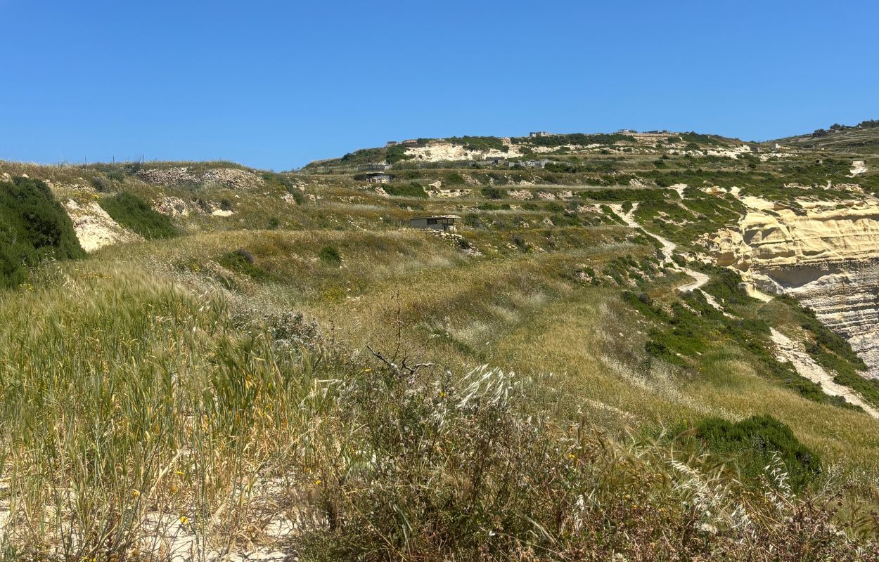
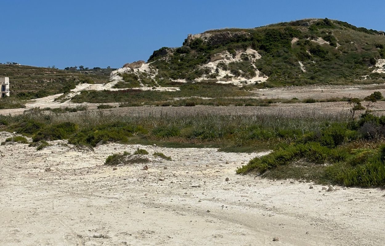
For the final hike, it is time to return to Gozo. Malta’s sister island is quieter and more rural, with plenty of opportunities for walking. Because some roads are rough or little more than dirt tracks, I often parked along the way and continued on foot. Some sections climb fairly steeply, but the scenery makes the effort worthwhile. The hills around Xagħra, Nadur, and Żebbuġ are particularly well suited to this kind of wandering.
You may pass carob trees, low stone walls, and frequent viewpoints over the sea. Along the way, you may encounter chapels and farms, often with few other people in sight. For one possible route, start in Xagħra. From there, climb toward Calypso Cave, which overlooks the red sand of Ramla Bay—my favorite beach on Gozo. You can then descend toward the sea, completing the route in roughly two to three hours.
The best times to hike in Malta
Timing matters when planning a hiking trip in Malta. For me, early spring was ideal. The weather is not yet too hot, wildflowers are in bloom, and the trails are greener. Temperatures are generally mild, often between 18°C and 24°C, which is very comfortable for walking. A light sea breeze often makes conditions even more pleasant, so this is the season I recommend most.
Fall is another very good option. After summer, temperatures become pleasant again, even though the water is still warm. This makes it an excellent season for combining hikes with swimming.
Summer, from June through August, is more challenging. Temperatures can rise above 35°C, and many routes offer little or no shade. If you go in summer, I really advise setting off very early in the morning. Coastal routes may feel slightly more comfortable thanks to the breeze.
Winter is a good choice for avoiding crowds and enjoying quieter trails. Thanks to the Mediterranean climate, daytime temperatures often remain around 15°C. Although Malta still sees plenty of sunshine, winter weather is less predictable and may bring rain or strong winds. Even so, wet spells are often relatively brief.
For more information, I invite you to read our article on when to go to Malta.
What gear do you need for hiking in Malta?
You do not need a large amount of specialized gear to hike in Malta. The main priority is protecting yourself from the sun, as many Maltese trails offer little or no shade. Here are the essentials to pack in your backpack:
- Good walking shoes: the trails are often rocky and can be slippery, so leave the flip-flops behind. Heavy hiking boots are not usually necessary; athletic shoes or walking sneakers should be enough.
- Cap or hat, sunglasses, and sunscreen: with virtually no shade and strong sunshine, good sun protection is essential.
- Water: carry enough for the entire route, particularly in hot weather, as refill points are uncommon on isolated trails.
- Snacks or a picnic: isolated areas may have no cafés or restaurants, so plan ahead.
Bonus:
- Map or GPS app: Maps.me and AllTrails can be useful because paths are not always clearly marked or defined.
- Swimsuit and towel: it’s always nice to take a dip along the way!
The list is simple, but planning ahead makes a real difference in Malta’s heat.
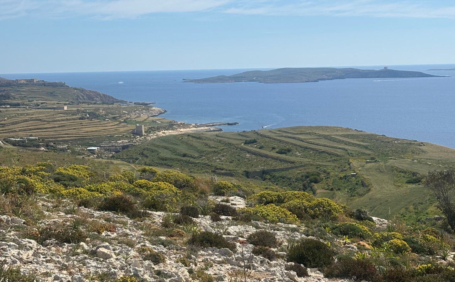
That brings this guide to Malta’s best hikes to a close. I hope it has shown you a different side of the archipelago and encouraged you to add a few walks to your itinerary. As you have seen, Gozo offers plenty of excellent hiking opportunities. Personally, I would prioritize the routes on Gozo and along western Malta. That is where the scenery feels wildest and the atmosphere is generally quieter. Do not overlook Comino either: once you move away from the Blue Lagoon, its trails can feel remarkably peaceful.
If you haven’t finalized your itinerary yet, I recommend reading our complete guide to itineraries in Malta. It will help you choose a route that suits your interests and the length of your stay.
See you soon for more discoveries in Malta,

Written by Laura CALLES
Thanks to Mélanie and Sylvain, I had the chance to explore the beautiful Maltese archipelago and share all the beauty of its islands with you. A little piece of paradise not to be missed!
Thanks to you, our readers, our blog can continue to grow. This page may contain affiliate links, which means we may earn a commission if you make a purchase through them, at no extra cost to you. This helps us keep offering you more and support our work!
Despite our vigilance, an error may have slipped into this article. If you spot one, please let us know so we can correct it and keep our information up to date!