Visiting Teide National Park
Last update: 06/21/2026
Our blog continues to grow thanks to you, our readers. This post may contain affiliate links, which means we can earn a small commission if you make a purchase through them, at no extra cost to you. This helps us to continue to bring you more and support our work!
If there is one place you truly shouldn’t miss in Tenerife, it is Teide National Park. That’s why I’ve put together a complete guide to this famous part of the island. Listed as a UNESCO World Heritage Site, the park forms Tenerife’s volcanic heart. There is Mount Teide itself, of course, but also a network of trails winding through remarkably varied scenery. One moment, you’re crossing a dark lava field; a few minutes later, you’re surrounded by golden rock formations and almost lunar landscapes.
I visited twice, two years apart, and fell for the park all over again each time while experiencing it in a different way. I didn’t take the cable car to the upper station because I wanted to hike and explore at my own pace, yet the park was already spectacular from below. One local even encouraged me to spend time around the volcanic vents on Teide’s slopes, reminding me that the lava did not emerge only from the summit.
Even without reaching the top, the altitude often places you above the clouds, creating the feeling that you’re floating over the island. I recommend setting aside a full day of your Tenerife trip for the park. It is genuinely worth it. Whether you prefer hiking or driving from one viewpoint to the next, there is plenty to see. Take your time and let yourself enjoy the scenery.
How to reach the summit of Teide
Reaching the summit of Teide is entirely possible, and there are several ways to do it: by cable car, on a guided hike, or by completing the final ascent on the regulated Telesforo Bravo trail. Below, I’ll explain the main options so you can choose the one that best suits your plans and fitness level.
Teide cable car
Let’s begin with the most popular option, which takes you high up the volcano with relatively little physical effort. In just a few minutes, the cable car climbs to La Rambleta at an altitude of 3,555 meters, with sweeping views over the park along the way. From the upper station, several marked trails lead to nearby viewpoints, while the regulated PNT-10 Telesforo Bravo trail continues to the summit.
The cable car is extremely popular, especially during peak travel periods. If it is a priority for you, book through the official operator in advance rather than relying on same-day availability. Early-morning and late-afternoon departures may feel quieter and also offer softer light for photography.
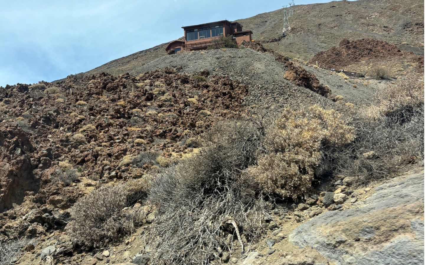
One final practical point: the lower cable car station stands at approximately 2,356 meters above sea level. Opening and closing times vary by season, so check the official schedule for your travel date rather than assuming fixed hours. Operations also depend on weather conditions, particularly wind, ice, and snow, and services may be suspended at short notice. Check the live status before setting out. Tenerife’s microclimates can be surprising: on the day I visited, the coast was cloudy while the national park was bright and sunny.
Hiking from Montaña Blanca to La Rambleta
Experienced hikers can climb from Montaña Blanca to La Rambleta on foot. The route begins at roughly 2,350 meters, so the elevation gain is substantial. This is a demanding hike, but it passes through remarkable lava fields and barren volcanic scenery that place you right at the heart of the landscape.
Access to the PNT-07 Montaña Blanca–La Rambleta trail is regulated and requires an advance reservation through Tenerife ON. Allow roughly five to six hours for the ascent and three to four hours for the descent, depending on your pace and the conditions. Bring proper hiking equipment, plenty of water, sun protection, and warm layers, as temperatures drop quickly with altitude. From La Rambleta, you’ll be rewarded with broad views across the caldera and, in clear weather, neighboring islands such as La Gomera. Continuing to the 3,718-meter summit requires a separate authorization for the PNT-10 trail.
PNT-10 Telesforo Bravo: permits and summit access
As mentioned above, access to Teide’s summit is strictly regulated. From La Rambleta, the PNT-10 Telesforo Bravo trail leads to the crater and the highest point in Spain. An advance reservation is required and must now be arranged through the official Tenerife ON platform rather than the former national-parks booking page. Availability is limited and released in time slots, so book as early as your travel plans allow. Since January 2026, fees apply to certain reservation slots, while the exact conditions depend on the selected date and category.
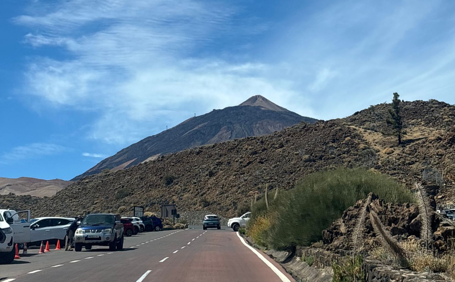
Bring your reservation confirmation and an official ID, as access is checked at the trail entrance. The final section from La Rambleta is short but steep, and the reduced oxygen at this altitude can make it more tiring than the distance suggests. Walk slowly, take breaks, and pay attention to any symptoms of altitude sickness. From the summit, the view extends across Tenerife and, in clear conditions, toward several neighboring islands. It is the final highlight of the ascent—and a very good reason for me to return to Tenerife a third time, haha.
The best views without a summit permit
Even without a summit reservation, you can still enjoy excellent views from La Rambleta. The PNT-11 trail leads toward the Mirador de la Fortaleza, with views over northern Tenerife and the sea of clouds. The PNT-12 trail heads to the Mirador de Pico Viejo, overlooking the colorful crater and, in clear weather, the islands of La Gomera, El Hierro, and La Palma. Access conditions can change, so check the current status of both trails before your visit.
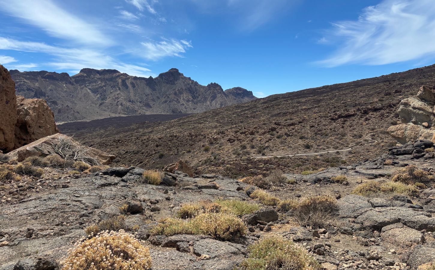
Lower in the park, several viewpoints are easy to reach by car, including Llano de Ucanca and Minas de San José. I stopped at both and will tell you more about them below. As I said at the beginning, the national park is worth exploring even if you never reach the summit. Its colors, rock formations, and volcanic terrain are striking at every level.
Returning to the beach, the water is calm because the bay is sheltered by rocks, making it a peaceful place to swim, including with children. What surprised me most was Adeje’s microclimate: the weather was hot and dry, which made the heat feel manageable, while only a few kilometers away it had been humid and windy. That is the magic of Tenerife’s microclimates—you notice the changes very quickly.
Speaking of Costa Adeje, accommodation is not particularly inexpensive, but there are some beautiful hotels if you feel like treating yourself.
The best hikes in Teide National Park
Beyond the summit, Teide National Park has a great deal to see and do. I still have vivid memories of its lava fields, ocher rock formations, pine forests, and viewpoints above the clouds. Another advantage is the variety of trails, with options for several ability levels. I explored some areas by car and others on foot; the right balance will depend on how much time you have and how comfortable you are hiking at altitude.
Tenerife’s varied terrain makes the island an excellent destination for hikers. For a broader selection, take a look at my guide to the best hikes in Tenerife. For now, here are some of the most interesting routes around Teide.
Roques de García
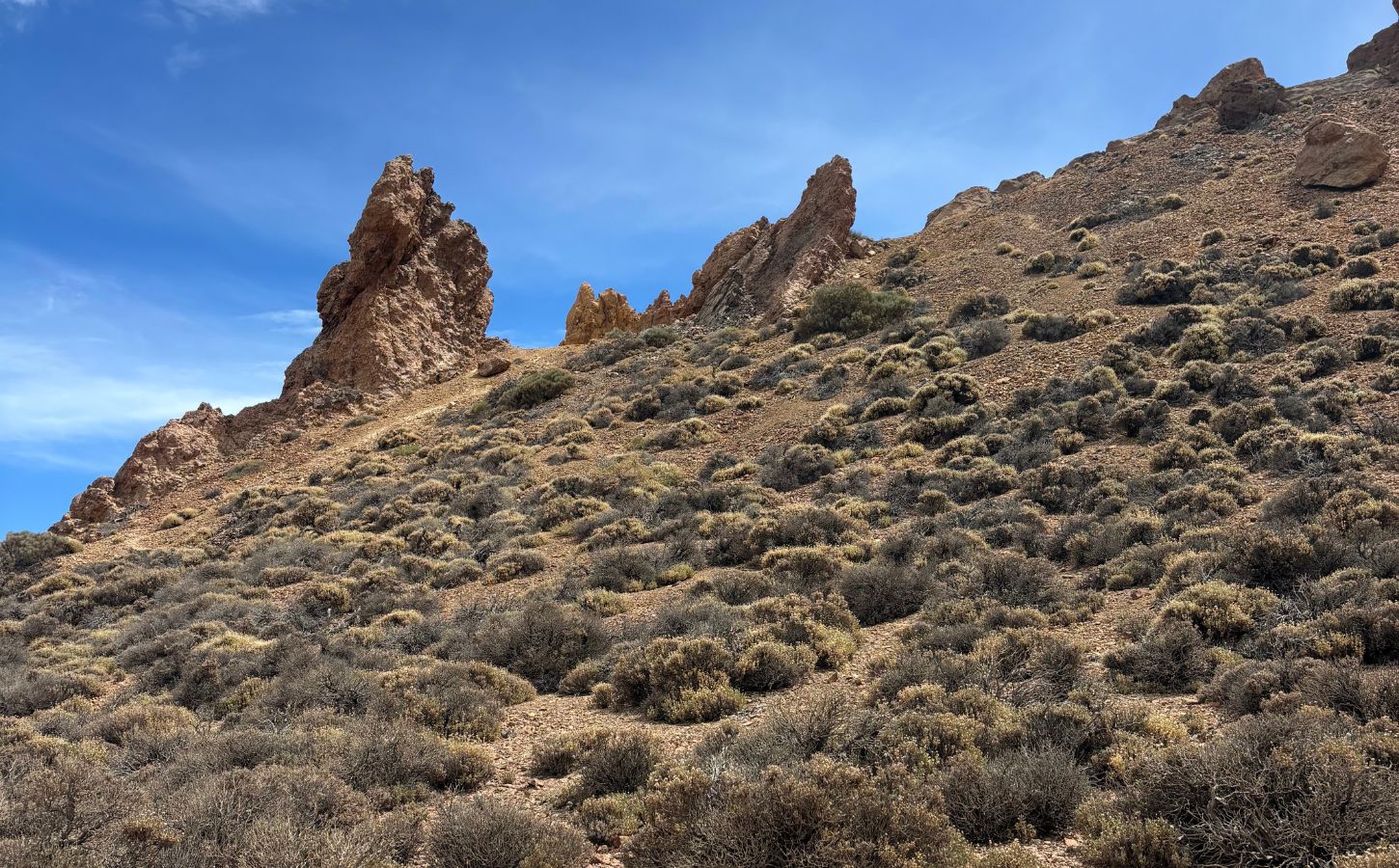
Search for hiking information about Teide National Park and Roques de García will almost certainly appear near the top. It is the park’s best-known walk, and for good reason. The loop begins near the Parador de las Cañadas del Teide and generally takes around 90 minutes to two hours. Throughout the route, Mount Teide remains in view while enormous and unusually shaped rock formations appear one after another. Each bend makes you want to continue and see what comes next.
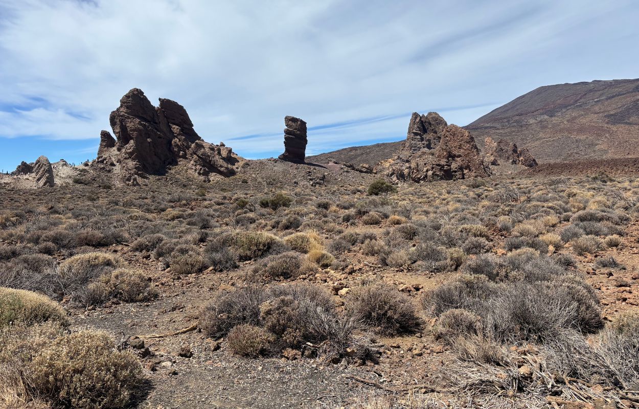
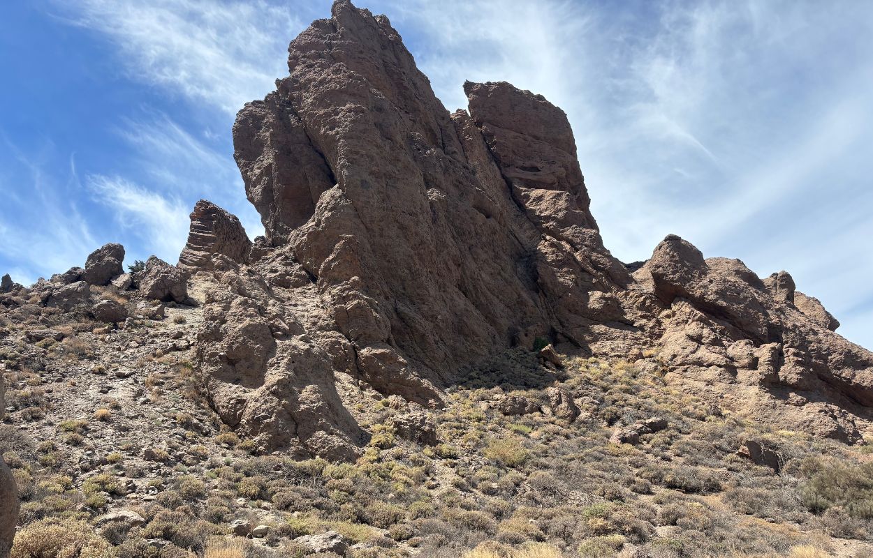
The best known of these formations is Roque Cinchado, the large leaning rock often featured on Tenerife postcards. I loved the colors here: black lava, warm golden stone, and a deep blue sky. Because the site is so famous, I expected the entire trail to be crowded. In reality, many visitors stop at the viewpoint near the Parador and leave without completing the loop. Even when the parking area is busy, it is worth continuing onto the trail. I met only a handful of people and had plenty of time to enjoy the viewpoints along the way.
Guajara
For wilder scenery and a quieter trail, consider the hike to Guajara. It offers one of the best elevated views of Teide and climbs to around 2,700 meters above sea level, overlooking much of the Las Cañadas caldera. Depending on the chosen route, expect roughly nine kilometers and around 600 meters of elevation gain, with a walking time of four to five hours. The climb is demanding enough that proper preparation is essential.
You can begin near the Parador de las Cañadas del Teide or from one of the nearby trail access points, depending on the route you select. At the top, the panorama opens in every direction, often above the clouds. Guajara is also known as a beautiful sunset location, but hiking down after dark requires suitable lighting, warm clothing, and careful planning.
Siete Cañadas
I would describe Siete Cañadas as a long walk rather than a technical hike. The full one-way route is approximately 16 kilometers, though you can turn around earlier if you have limited time. Historically, this trail formed part of a route connecting northern and southern Tenerife. Despite the moderate terrain, bring sturdy shoes, plenty of water, sun protection, and a hat. Shade is virtually nonexistent, and the high-altitude sun can burn you before you realize it—as I discovered by the end of the day, haha.
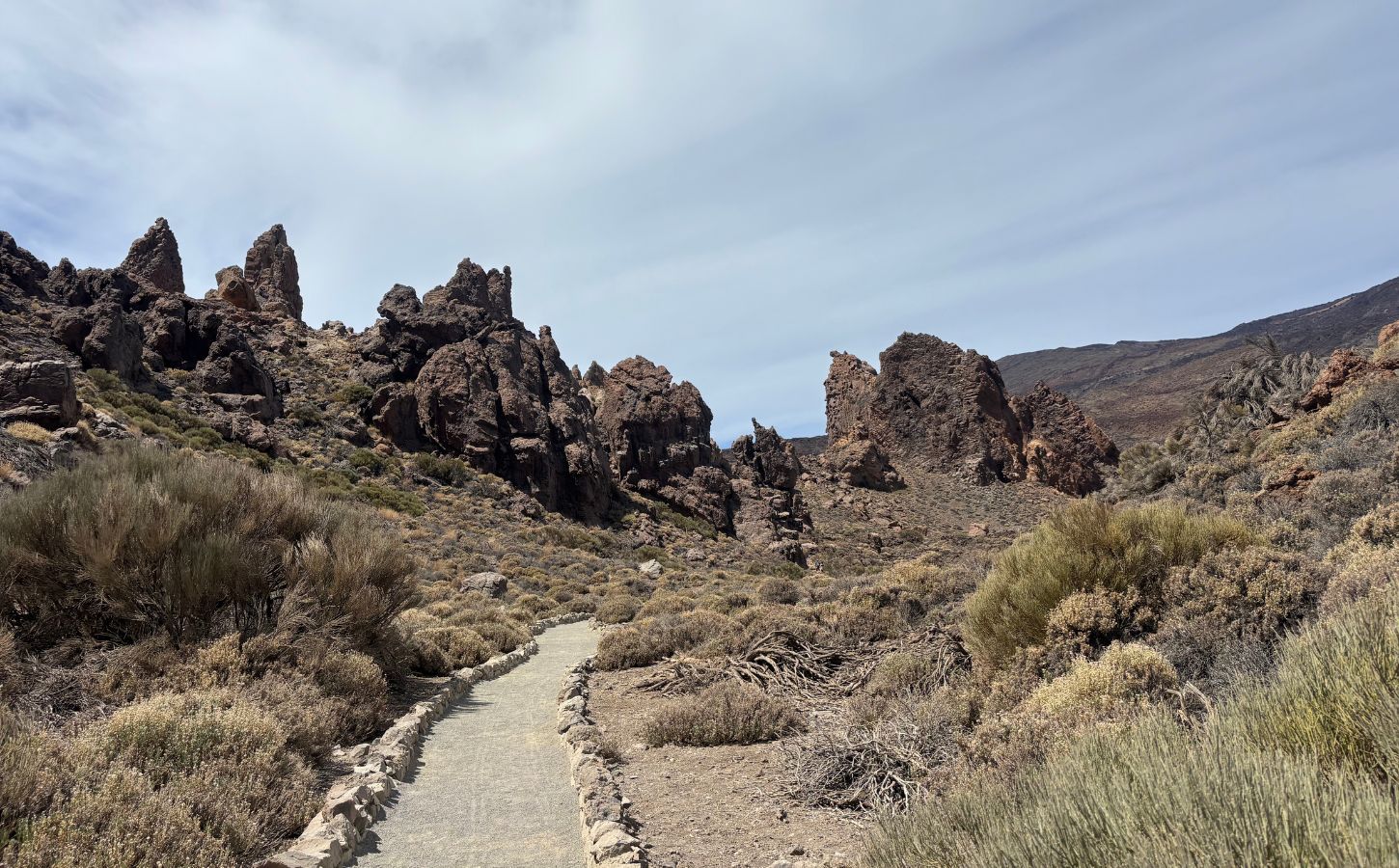
Because the trail is so long, it passes through an impressive range of landscapes: ocher cliffs, black lava, dry open plains, and occasional greener sections. If you enjoy changing scenery, this is one of the park’s most rewarding walks. It was also relatively quiet when I visited.
Pico Viejo
At 3,135 meters, Pico Viejo is Tenerife’s second-highest summit after Teide. It lies beside the main volcano and offers broad views across the caldera and toward neighboring islands such as La Gomera, El Hierro, and La Palma. From La Rambleta, the PNT-12 trail leads to a viewpoint over Pico Viejo’s crater, whose slopes display shades of gold, red, and black. Check current access conditions before setting out, as high-altitude trails may close because of weather or safety concerns.
Longer routes toward Pico Viejo can also be approached from lower elevations, but these are serious mountain hikes involving substantial elevation gain. The regulated PNT-09 route requires an advance reservation through Tenerife ON, so do not treat it as an improvised extension to your visit.
Samara
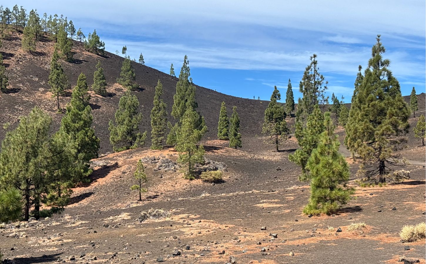
Although I loved the entire park, Sámara was one of my favorite hikes. It is accessible and not overly strenuous, yet it allows you to experience the volcanic landscape at close range. The Mirador de Sámara sets the tone immediately, with black volcanic gravel, scattered Canary Island pines, and excellent views toward Pico Viejo and Mount Teide.
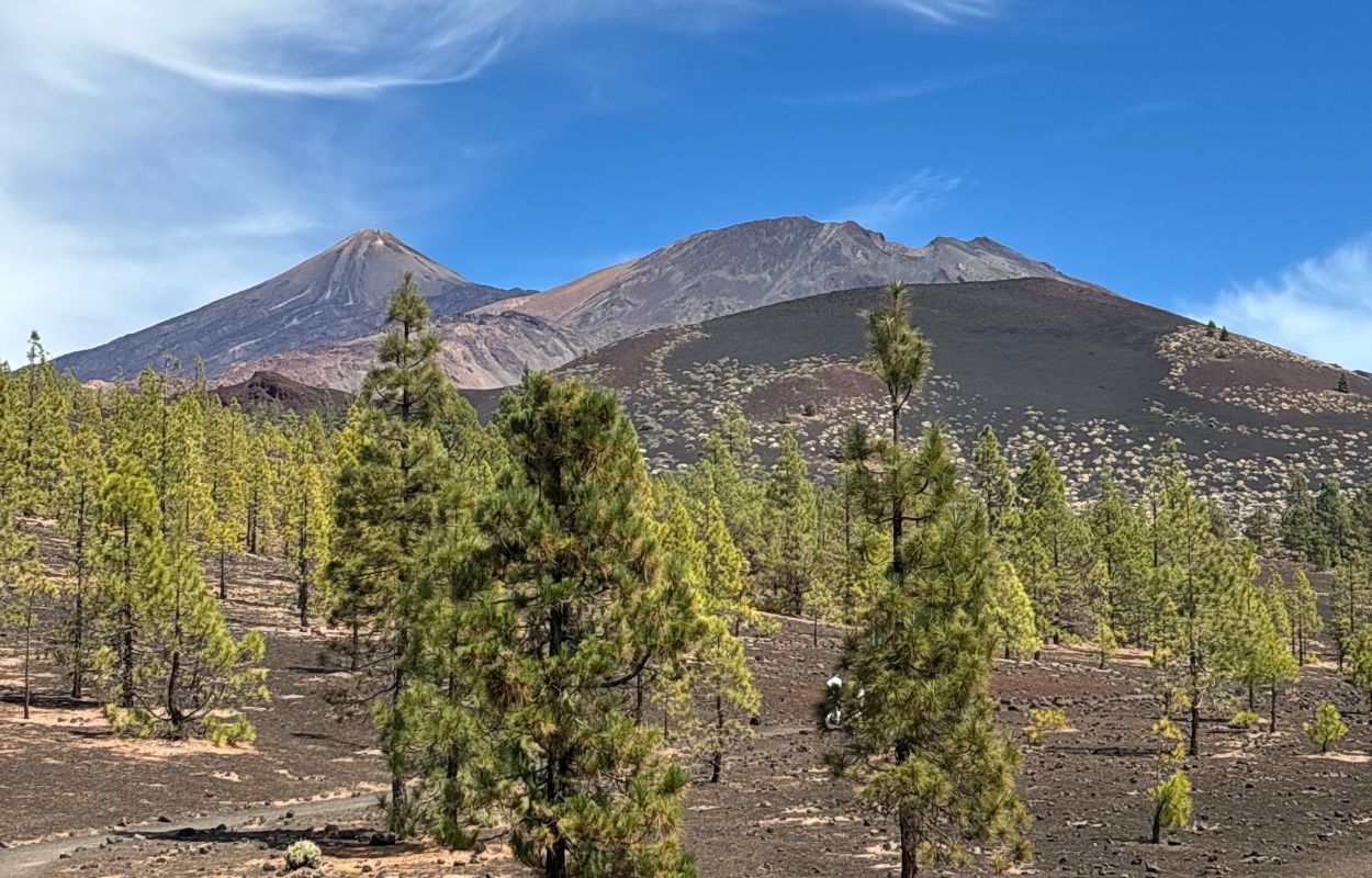
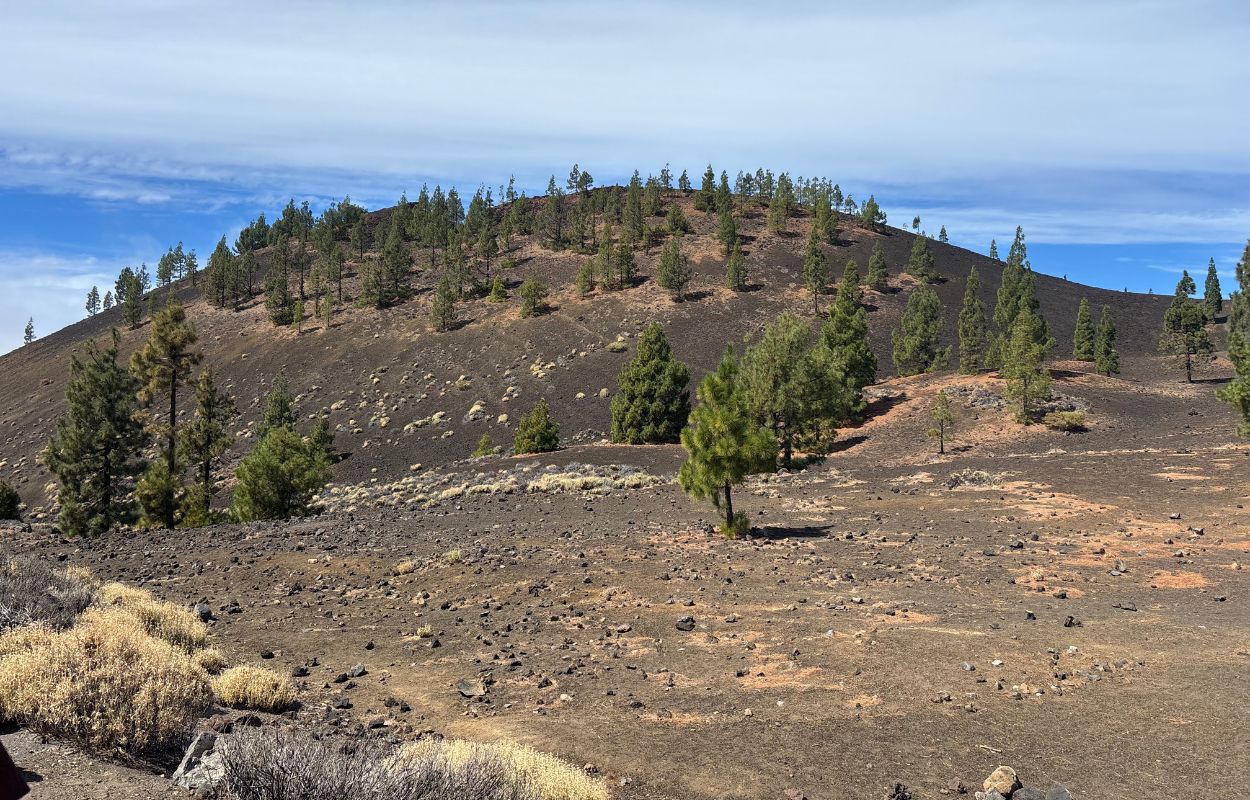
The route involves a little over 200 meters of elevation gain, which is modest compared with several of the hikes mentioned above, haha. Relatively few visitors take the time to follow the trail through this area, so I was able to enjoy both the views and the quiet atmosphere. I skipped Sámara on my first trip and was very glad to include it on my second. I strongly recommend it.
Minas de San José
Even if you don’t complete the full walk, stop at the Minas de San José viewpoint. For a more immersive experience, follow one of the marked paths through the surrounding landscape. This became one of my favorite parts of the park. The pale volcanic material and dark rocks make the area feel almost Martian, which explains why Teide’s scenery has often been used as a backdrop for film productions, including Clash of the Titans.
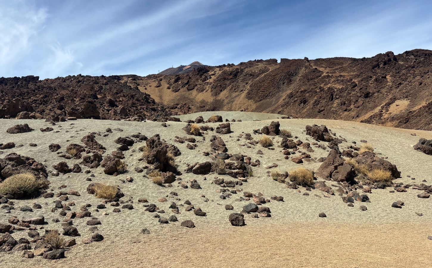
The walk is straightforward, with a loop of roughly five kilometers and only modest elevation gain. The colors are remarkable: pale yellow ground, red and black rock, and Mount Teide rising in the background. The areas beside the road can be busy, but walk a little farther and the crowds quickly thin out. It is a memorable place and well worth a stop.
Narices del Teide (or Narices de Chahorra)
To finish with something more adventurous, consider Narices del Teide, also known as Narices de Chahorra. I did this hike on my first visit after a local recommended it. It is far less familiar to most visitors, and we had the route almost entirely to ourselves. The trail explores the area affected by the 1798 eruption on Pico Viejo’s flank, where several volcanic vents opened and produced extensive lava flows.
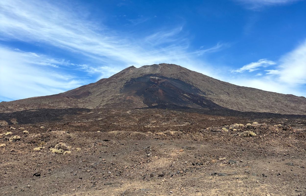
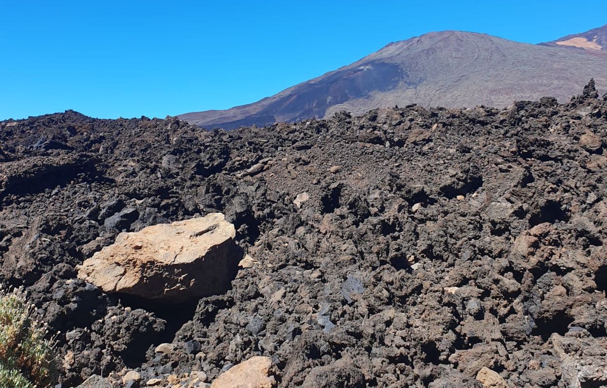
From the trail, you can clearly trace sections of the lava flow from the vents while walking through the surrounding volcanic terrain. The landscape left a strong impression on me. Depending on the exact route, expect a moderate hike of around nine kilometers. The uneven lava underfoot is the main challenge, as the rocks can put strain on your ankles.
Access to routes in this sector, including PNT-09 and nearby regulated trails, may require an advance reservation through Tenerife ON. Check the precise itinerary and current restrictions before setting out. If you enjoy wilder volcanic hikes, Narices del Teide is an excellent choice.
Practical information for visiting Teide National Park
Now that we’ve covered some of the best hikes in Teide National Park, here is the practical information you’ll need to plan your visit.
When to go to Teide National Park?
The best time to visit depends largely on what you hope to do. Conditions for reaching the summit are not necessarily the same as those for exploring lower trails:
- Winter (December to March): snow can transform the highest slopes, but wind, ice, and road conditions may affect the cable car and hiking trails. Check official updates before traveling and bring genuinely warm clothing.
- Spring and fall: for me, these are excellent seasons for exploring the park. Temperatures are often comfortable, and visitor numbers may be lower than during the busiest summer periods. I visited in both seasons and thoroughly enjoyed each trip.
- Summer: conditions are generally drier, but strong sun, heat, and altitude remain important considerations. Temperatures in the park are often cooler than on the coast, yet they vary significantly with elevation, wind, and time of day.
Teide National Park can be visited throughout the year, but the scenery and access conditions vary considerably by season. Check the official road, trail, and cable car status shortly before your visit. For broader advice on planning your travel dates, see our complete guide to the best time to visit Tenerife.
How to get to Teide National Park?
Teide National Park is straightforward to reach, provided you plan ahead. These are the main options:
- By car: driving offers the greatest flexibility. From southern Tenerife, the park can be reached via the TF-21 from Vilaflor or the TF-38 from Chío. From the north and northeast, the main approaches are the TF-21 and TF-24. Journey times vary by departure point, traffic, roadworks, and weather. Parking areas are available near many viewpoints, but the most popular ones fill quickly.
- By bus (TITSA): route 342 serves the park from Costa Adeje and Los Cristianos, while route 348 runs from Puerto de la Cruz and La Orotava. Current schedules generally provide one morning journey toward Teide and one afternoon return, but times and stops can change. Check TITSA’s official timetable immediately before your visit.
- Organized excursions: several operators provide guided trips to Teide from northern and southern Tenerife, often with pickup near your accommodation. Depending on the package, excursions may include the cable car, sunset viewing, or stargazing.
How long does it take to visit Teide National Park?
Vacations always seem to pass too quickly, so the right visit length depends on the time you have available. Teide National Park is vast and can be explored in several ways and at very different paces. Some travelers stay for half a day, while others devote a full day or remain into the evening.
I recommend allowing a full day if possible. That gives you time to stop at several viewpoints, complete a short hike, and perhaps take the cable car. A half-day visit still provides a good introduction, but you may leave wishing you had stayed longer. I have never remained after dark, though sunset and stargazing must make the experience especially memorable.
As a general guide, three to five hours provides a worthwhile but fairly quick overview. Six to eight hours allows for a much deeper visit, especially if you include a hike or stay into the evening.
Teide National Park itinerary ideas
Here are several itinerary ideas to help you explore Teide National Park in a way that suits your interests.
1. A “Hikes and viewpoints” day
This is the approach I chose on both visits. Arrive early and begin with the Roques de García loop, which takes around 90 minutes to two hours. You can then continue toward Minas de San José for a completely different volcanic setting. Take your time, and add viewpoints such as Chipeque, Narices de Chahorra, and the area around the Parador depending on your route and the current access conditions.
This itinerary is manageable without an extreme level of fitness, though the sun and altitude can still be tiring. I was exhausted by the end of the day, but it was worth it. It is an excellent way to experience several distinct sides of the park.
2. A “Panoramic roads” day
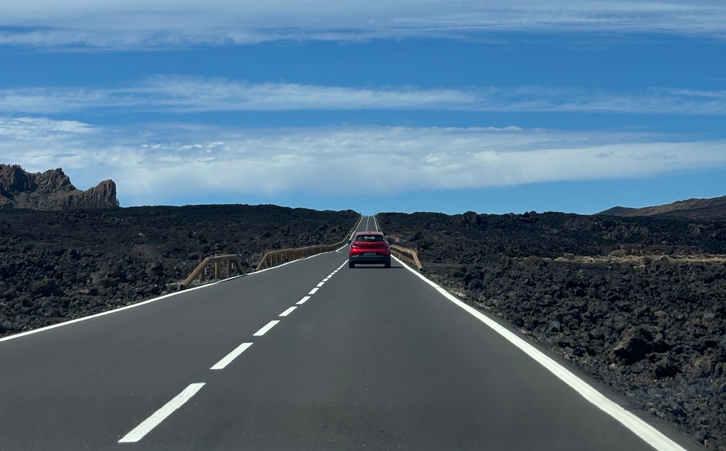
For a more relaxed visit, especially with family, drive through the park and stop at the main viewpoints. From the south, you can climb via the TF-38 from Chío or the TF-21 from Vilaflor. Both routes are scenic, with open volcanic terrain and relatively broad roads. The northern approaches pass through Canary Island pine forests and are more winding, so they require greater concentration. Areas affected by past wildfires may still show visible damage, and temporary road closures remain possible.
Once inside the park, stop at viewpoints such as La Ruleta, Minas de San José, and Los Poleos, adjusting the order to your direction of travel. This makes for a relaxed day with plenty of photography opportunities. Near the start of the Roques de García trail, the Parador area offers food and refreshments if you haven’t packed a picnic, though prices may be higher than elsewhere.
3. A “Teide ascent” day
To reach the summit, book your cable car ticket and the required PNT-10 reservation in advance. At La Rambleta, you can explore the authorized viewpoint trails toward Pico Viejo and La Fortaleza, subject to current conditions and access rules. Do not assume that a cable car ticket includes summit access. The time allowed around the upper station may also be limited by your booking conditions.
For more route ideas around the volcano and the rest of the island, see our guide to the best itineraries in Tenerife.
Where to eat at Teide?
You’ve probably gathered that I recommend bringing a picnic. It gives you the freedom to stop when you’re hungry without planning around opening hours, and eating with a view of the lava fields and volcano is part of the experience.
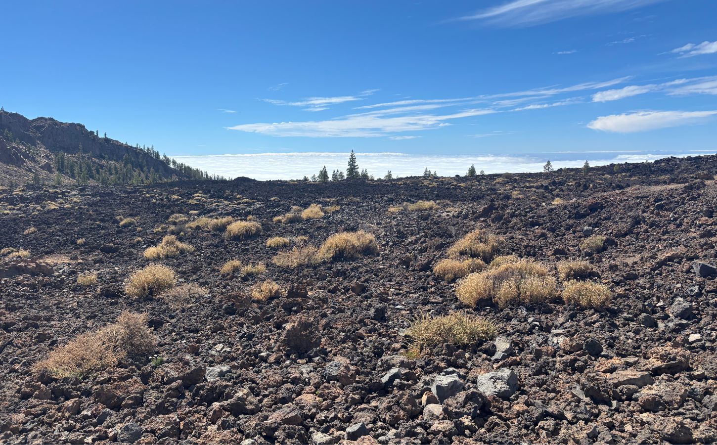
Dining options inside the park are limited, but the Parador de las Cañadas del Teide has both restaurant and refreshment facilities, with views toward Mount Teide and the Guajara Mountains. Other services may operate near the cable car station, depending on opening times. Prices are naturally higher than in many towns, but these options are useful if you haven’t brought food or need something after a hike.
Where to stay near Teide?
It is possible to stay inside Teide National Park at the Parador de las Cañadas del Teide, the only hotel within the park itself. You can also stay in towns on either side of the island and drive up for the day. In the south and west, you could stay in Los Gigantes; in the north, Puerto de la Cruz is another practical base. Here are three additional options:
High budget
Vincci Selección La Plantación del Sur: a five-star, colonial-style hotel in Costa Adeje with broad ocean views, several pools, landscaped gardens, a spa, and spacious rooms.
Mid-range budget
Catalonia Oro Negro: a comfortable hotel in Playa de las Américas that offers relatively good value. The rooms are simple and bright, with the essentials for a convenient stay in southern Tenerife.
Affordable budget
Hotel Don Cándido: a small hotel in a quiet part of Puerto de la Cruz, with a compact pool, a rooftop terrace overlooking Teide, and clean rooms, some with balconies. The friendly welcome adds to its appeal.
I hope this guide helps you plan your visit to Teide National Park. Whatever you choose to do, Teide and the landscapes surrounding it are unforgettable. The park remains remarkably well preserved despite attracting large numbers of visitors.
Another volcanic area in the Canary Islands that impressed me is Los Volcanes Natural Park in Lanzarote. It is smaller and completely different, but equally rewarding to explore.
See you again soon for more of Tenerife’s must-see places!

Written by Laura CALLES
Thanks to Mélanie and Sylvain, I had the chance to discover the Canary Islands, specifically Tenerife and Lanzarote, so that I could share these island paradises with you. Two real favorites of mine!
Despite our vigilance, an error may have crept into this article. If you spot one, please don't hesitate to let us know so that we can correct it immediately and keep our information up to date!